OSM Syria Community — 1st Meeting
Facilitator & Organizer · OSM Syria / HOT
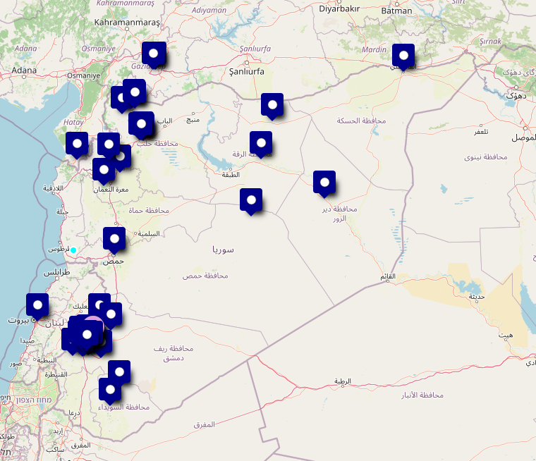
Facilitated the inaugural meeting of the OSM Syria community — a volunteer-run open mapping community built around OpenStreetMap. The agenda included a 30-minute introduction to OpenStreetMap, a practical demonstration of use cases (~15 min) covering school identification for damage assessment and reconstruction planning, and geographic data for decision support. A guest speaker from OSM Lebanon (Saeed Abu Khroub) joined to share the Lebanese community's experience.
The session ended with an open Q&A and discussion covering public transportation mapping, destroyed buildings, satellite imagery sources, API usage, spatial databases, and geofencing for drone imagery. The meeting helped define the community's direction and lay the groundwork for future mapping activities and coordination.
OSM Community Forum post